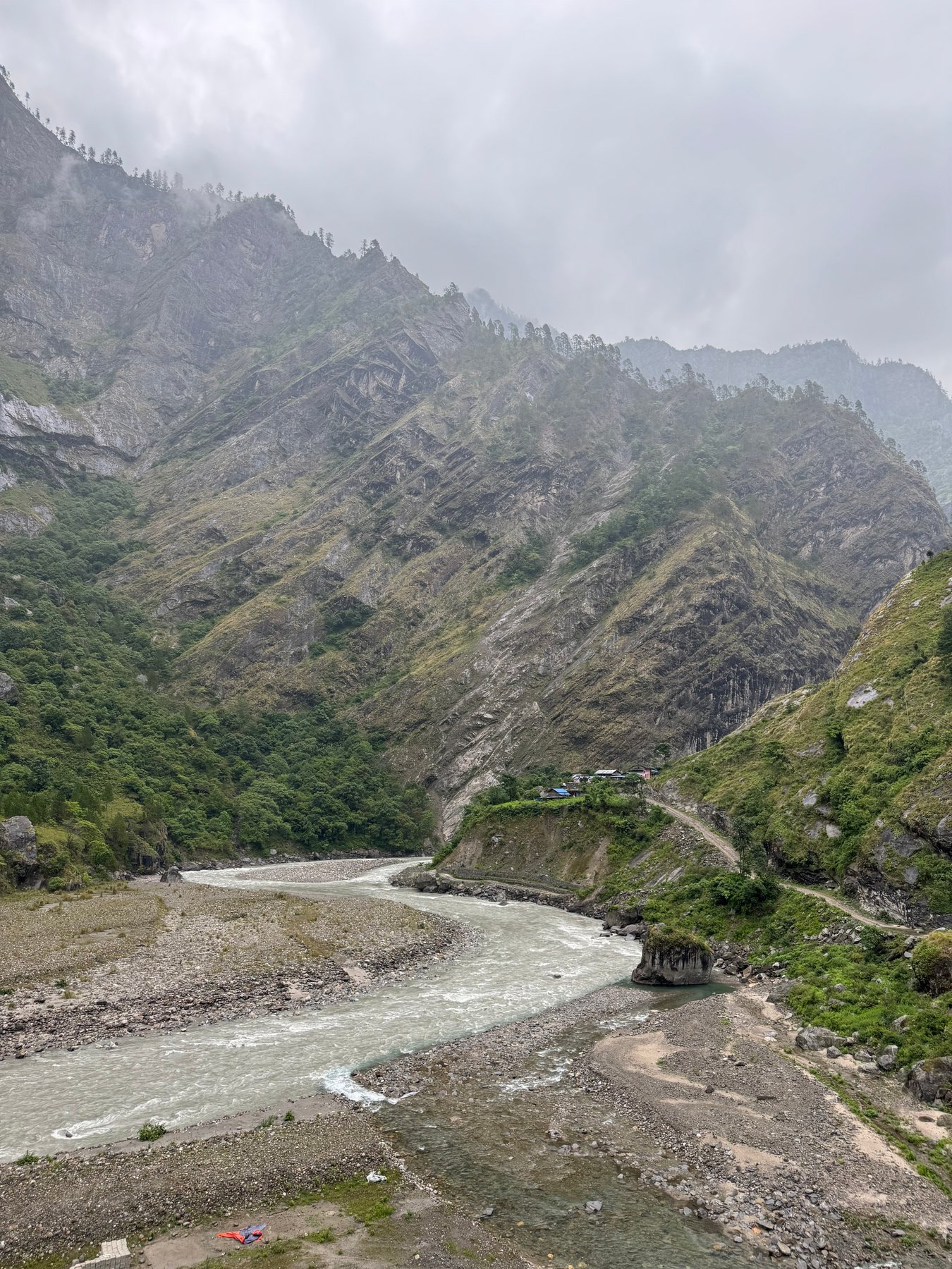
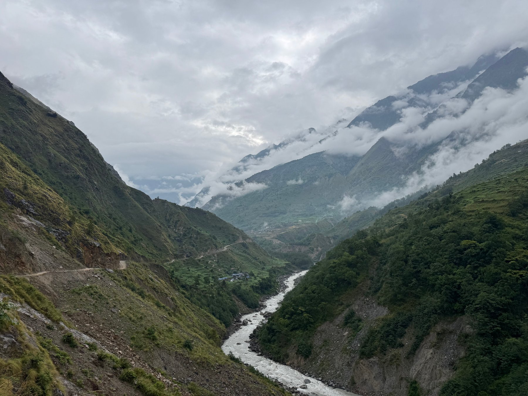
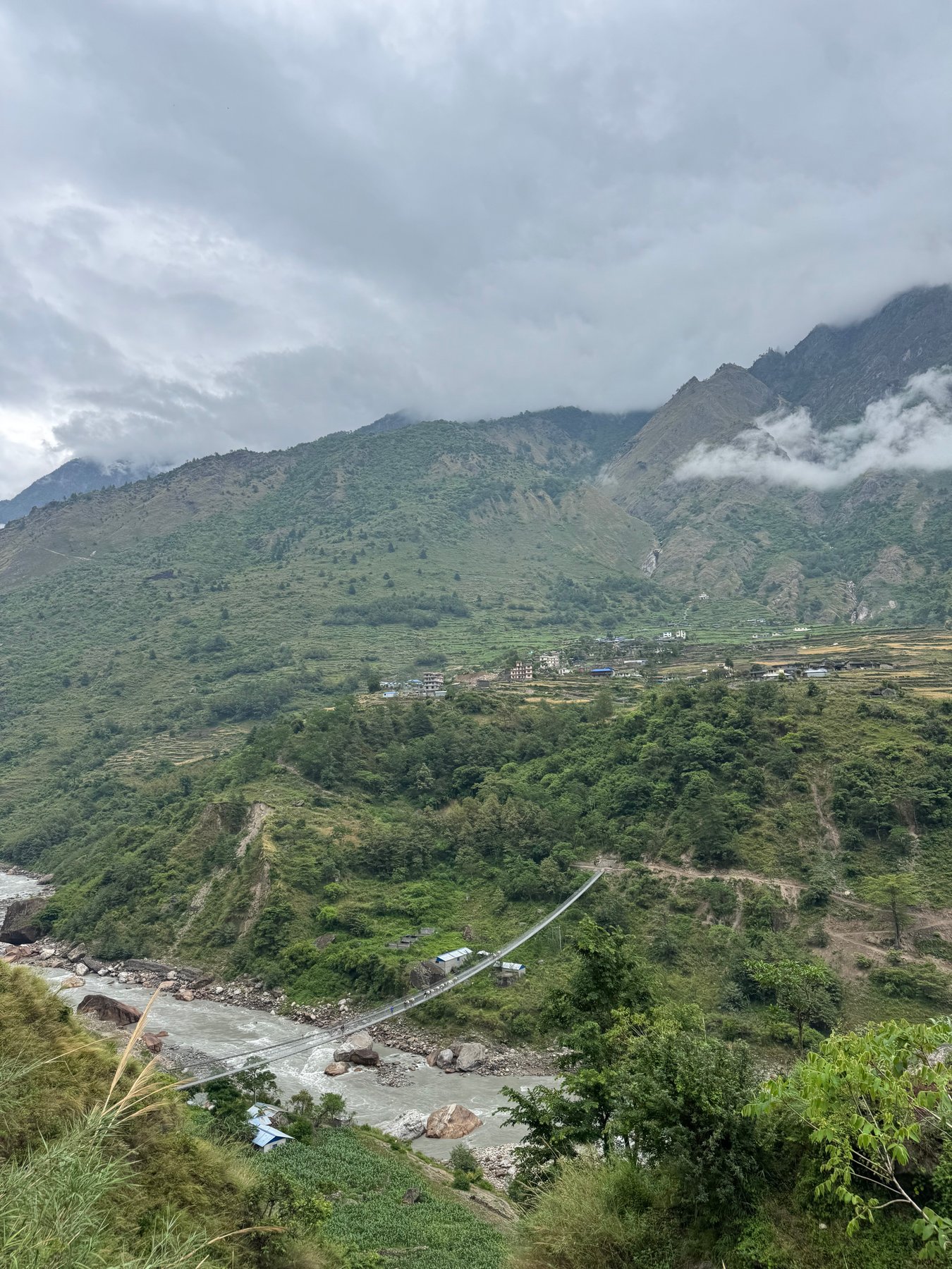
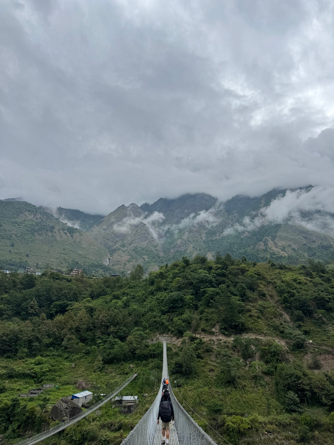
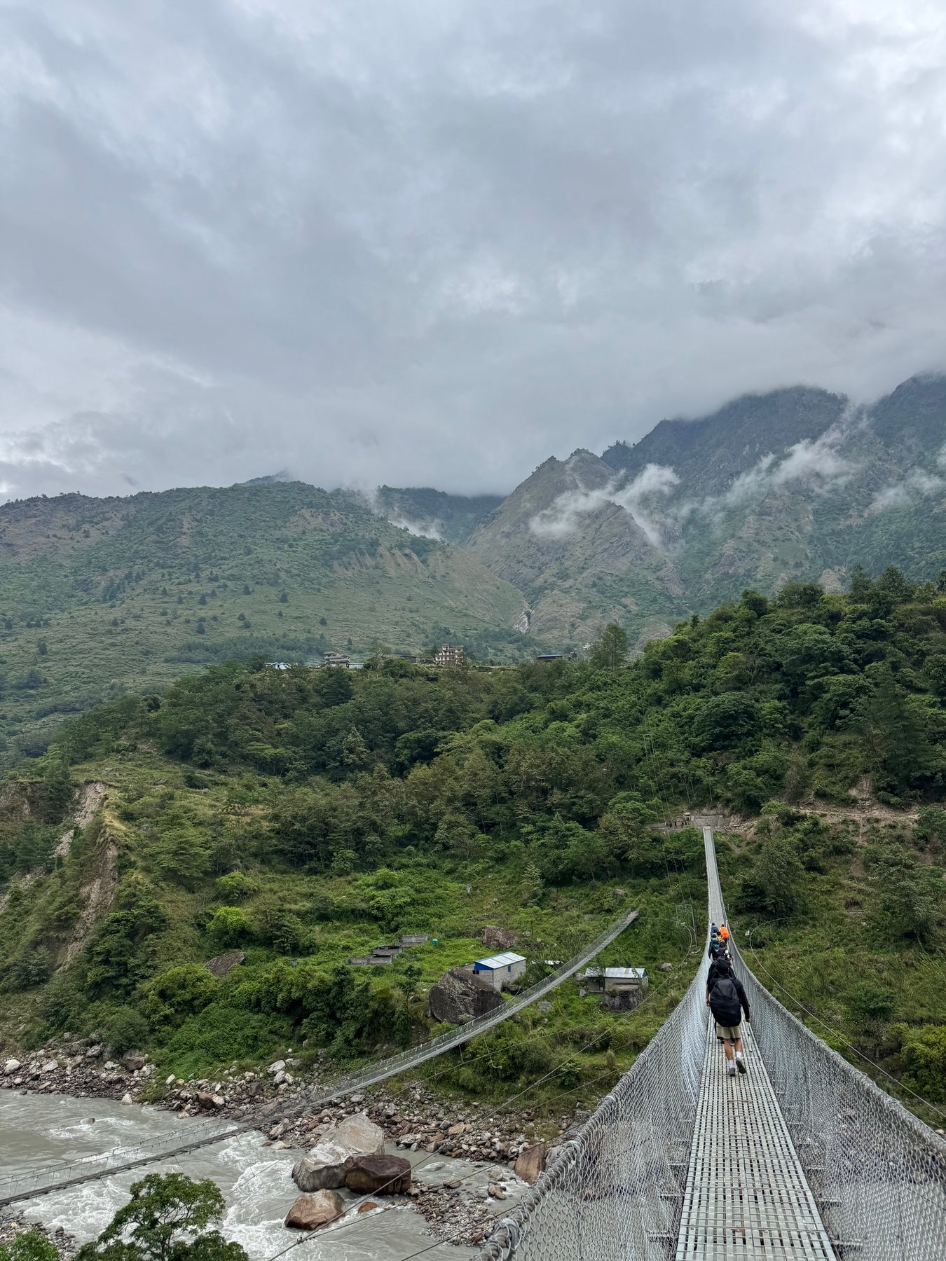
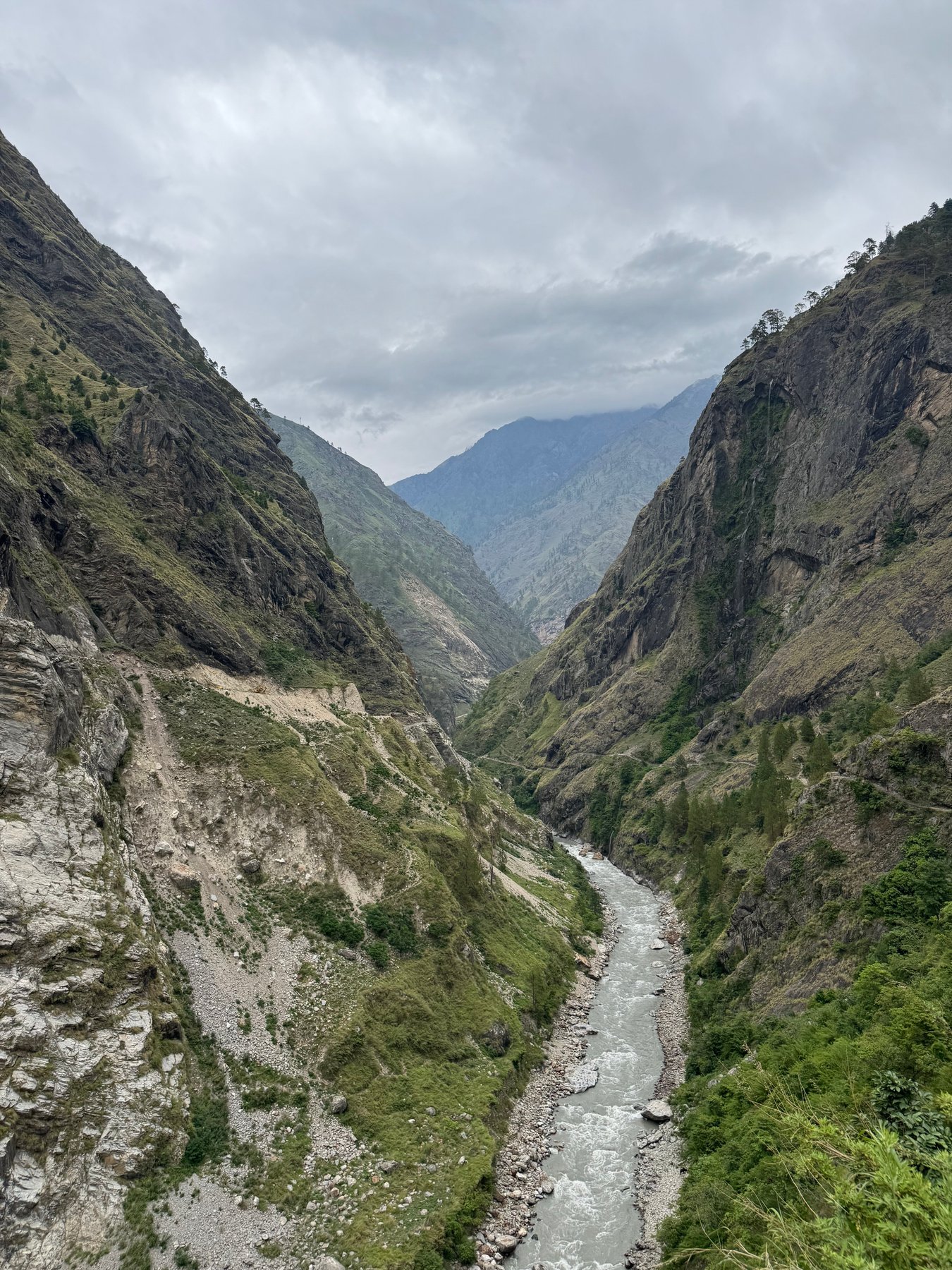
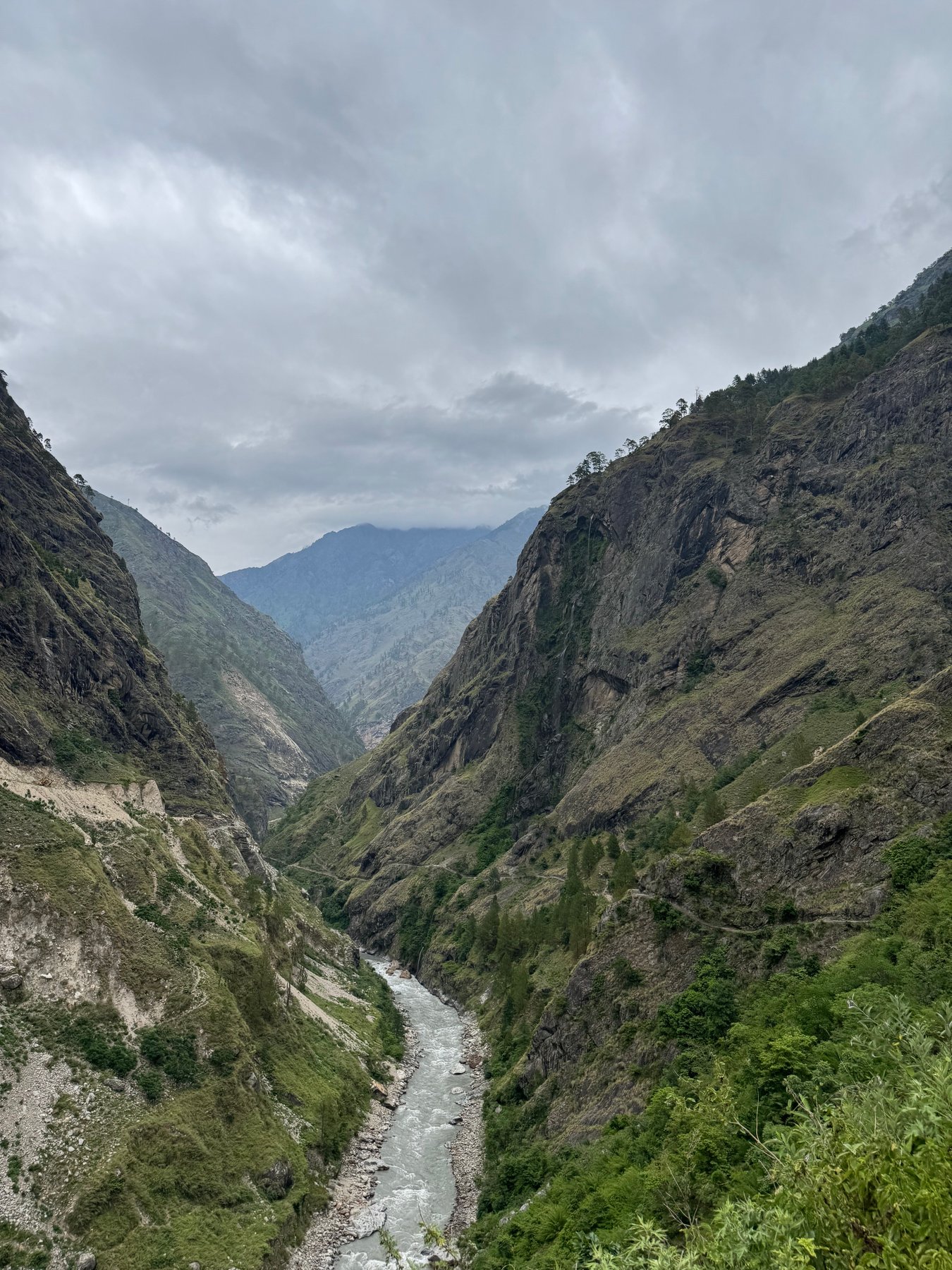
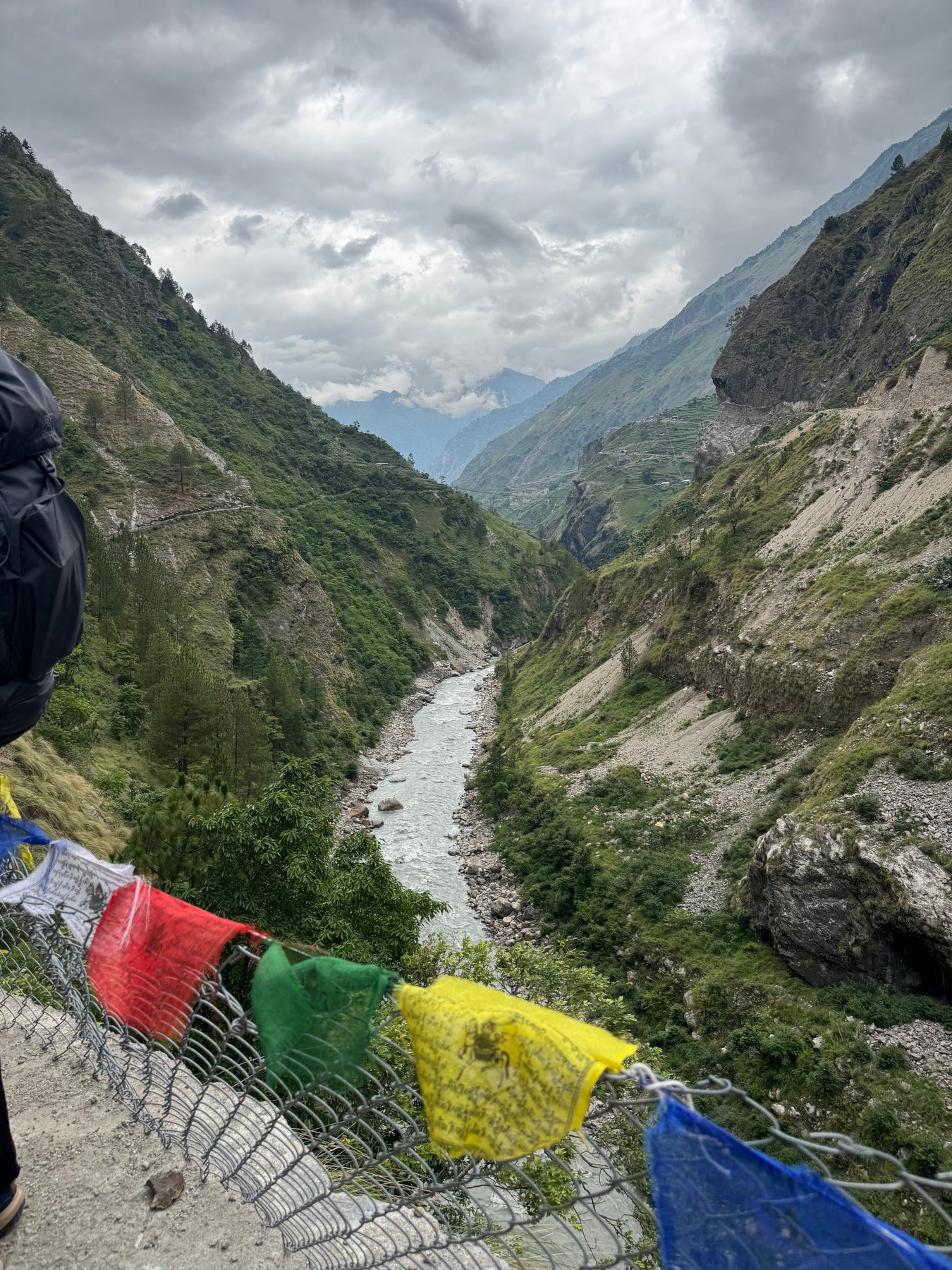
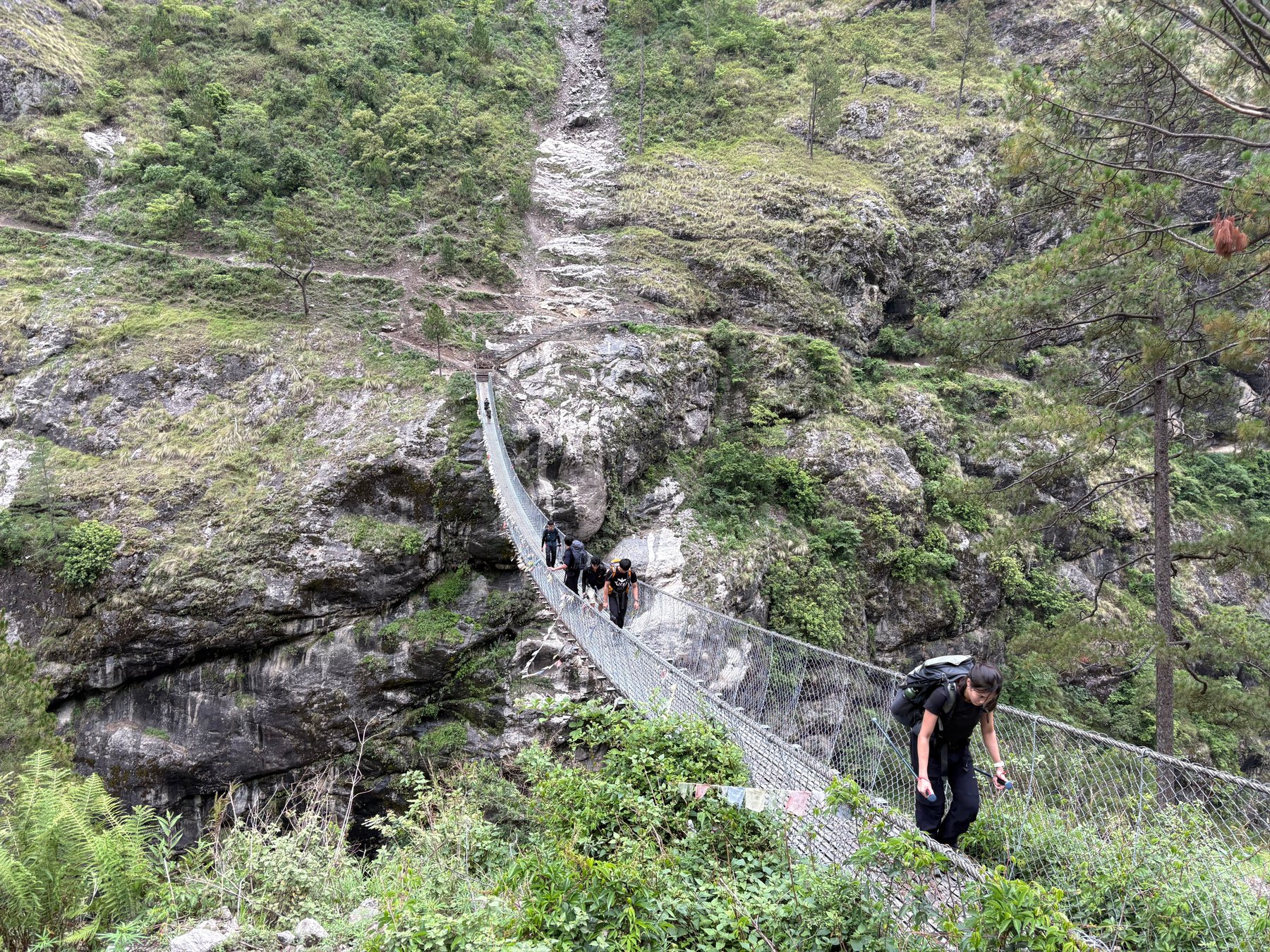
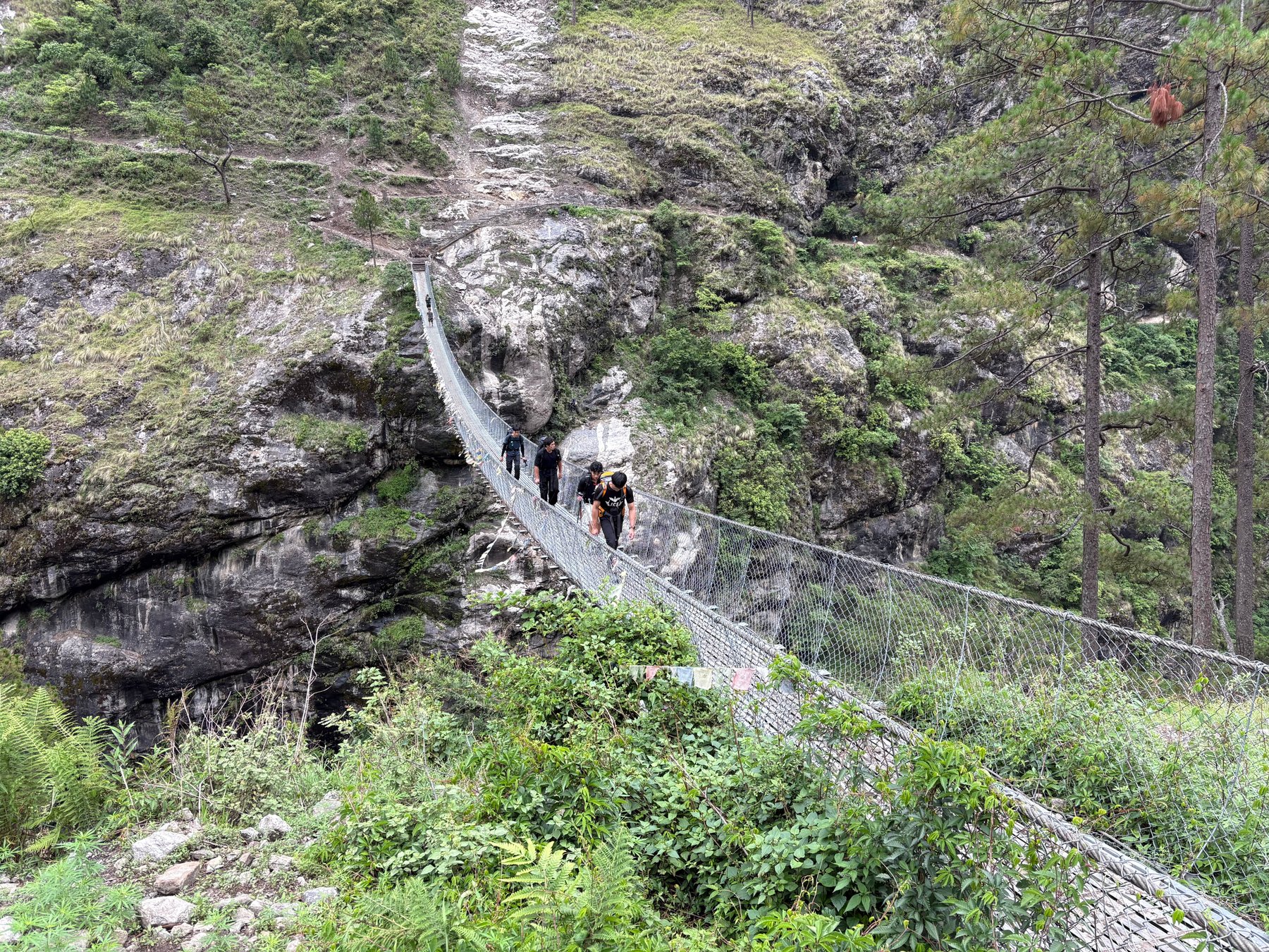
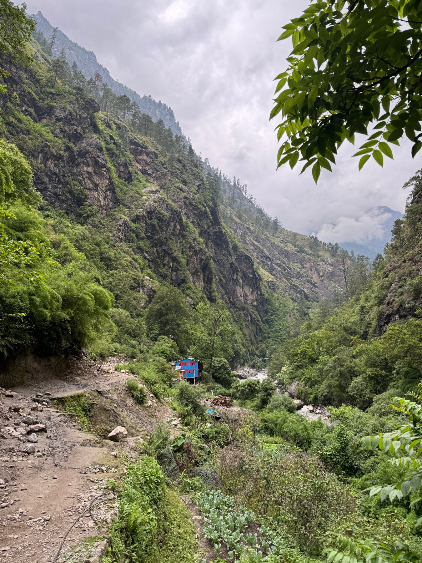
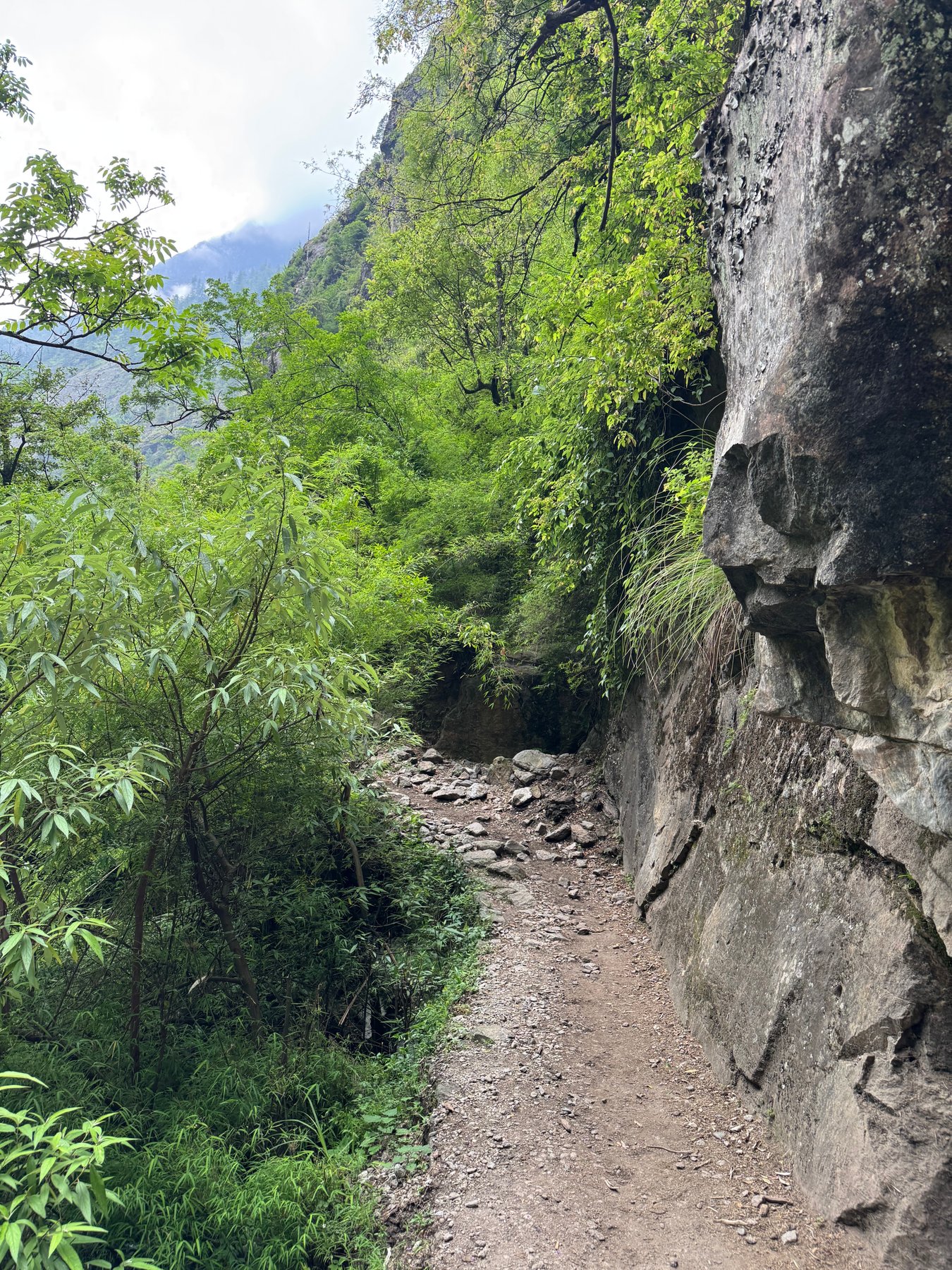
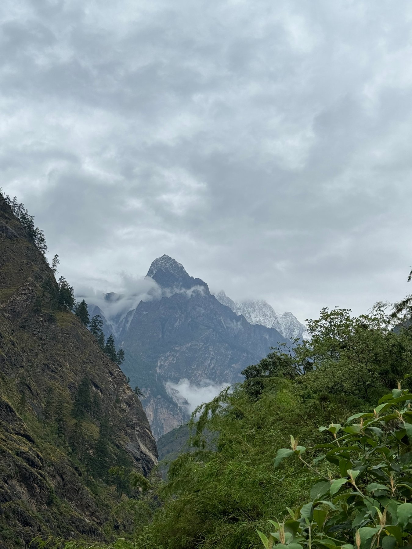
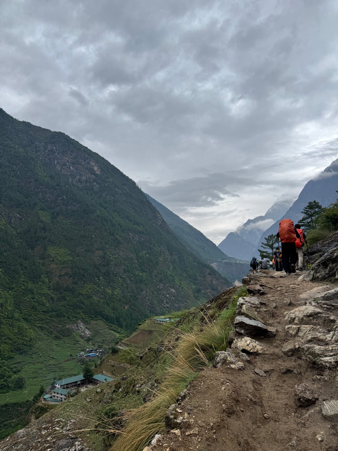
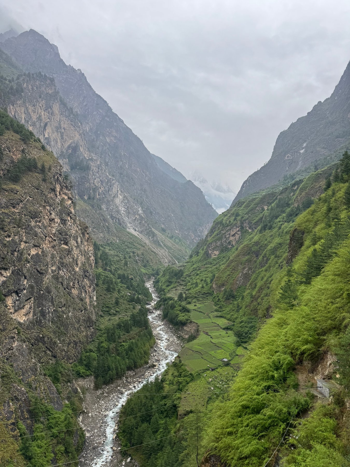
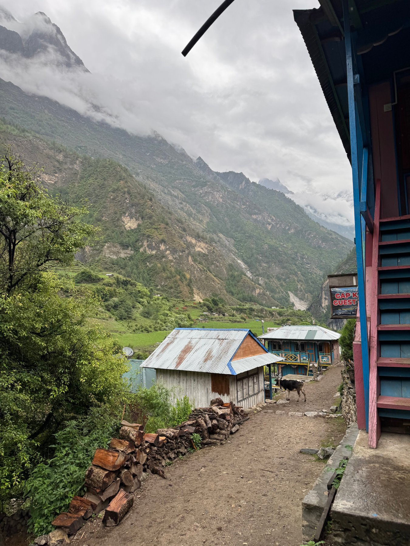
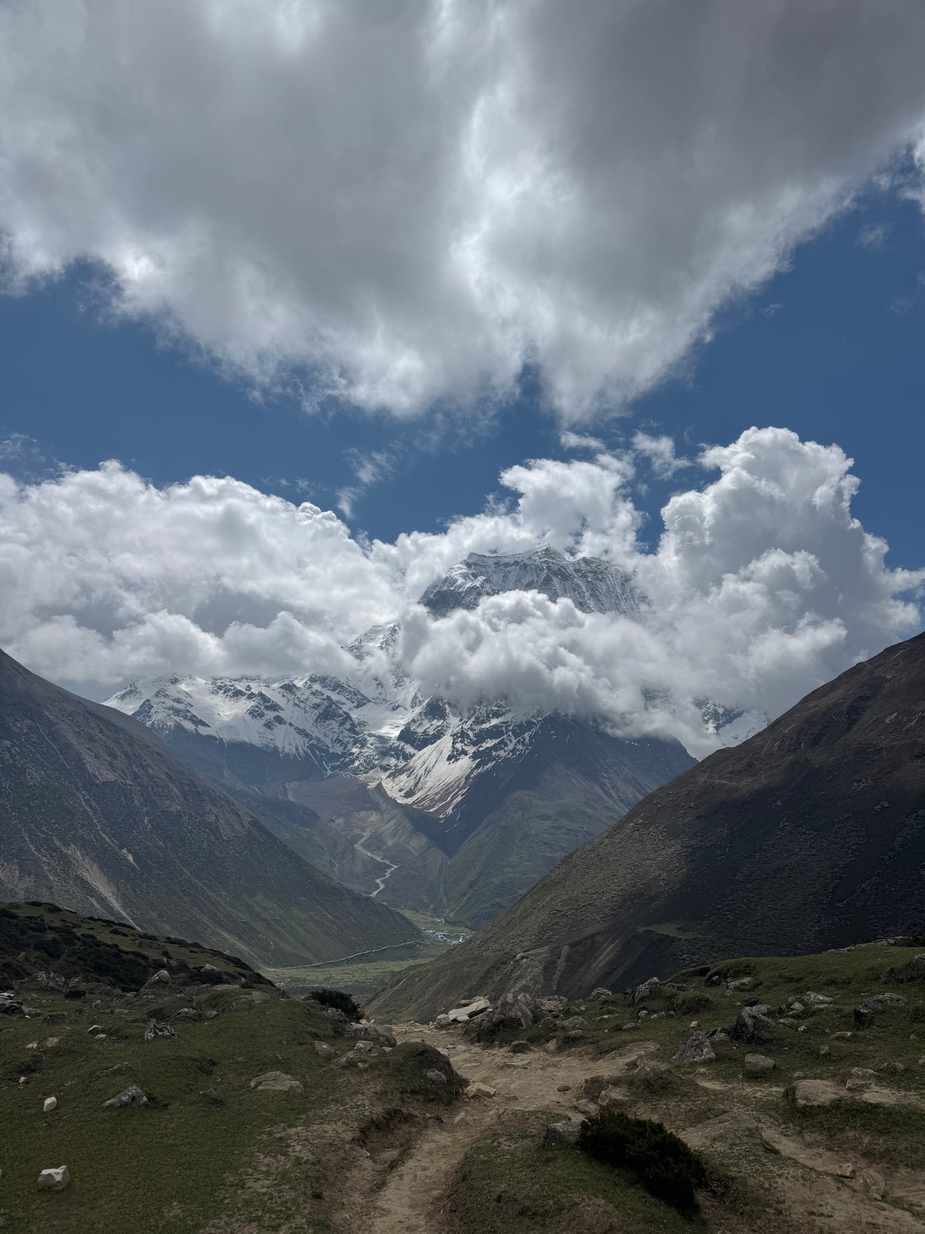
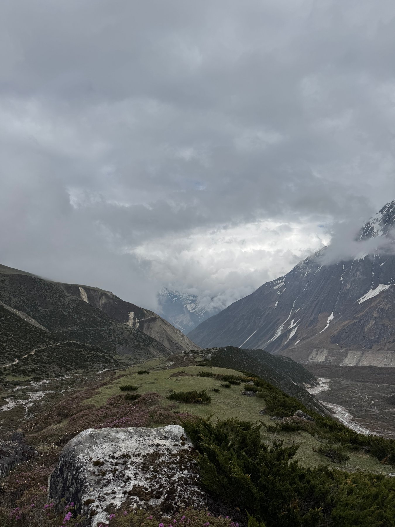
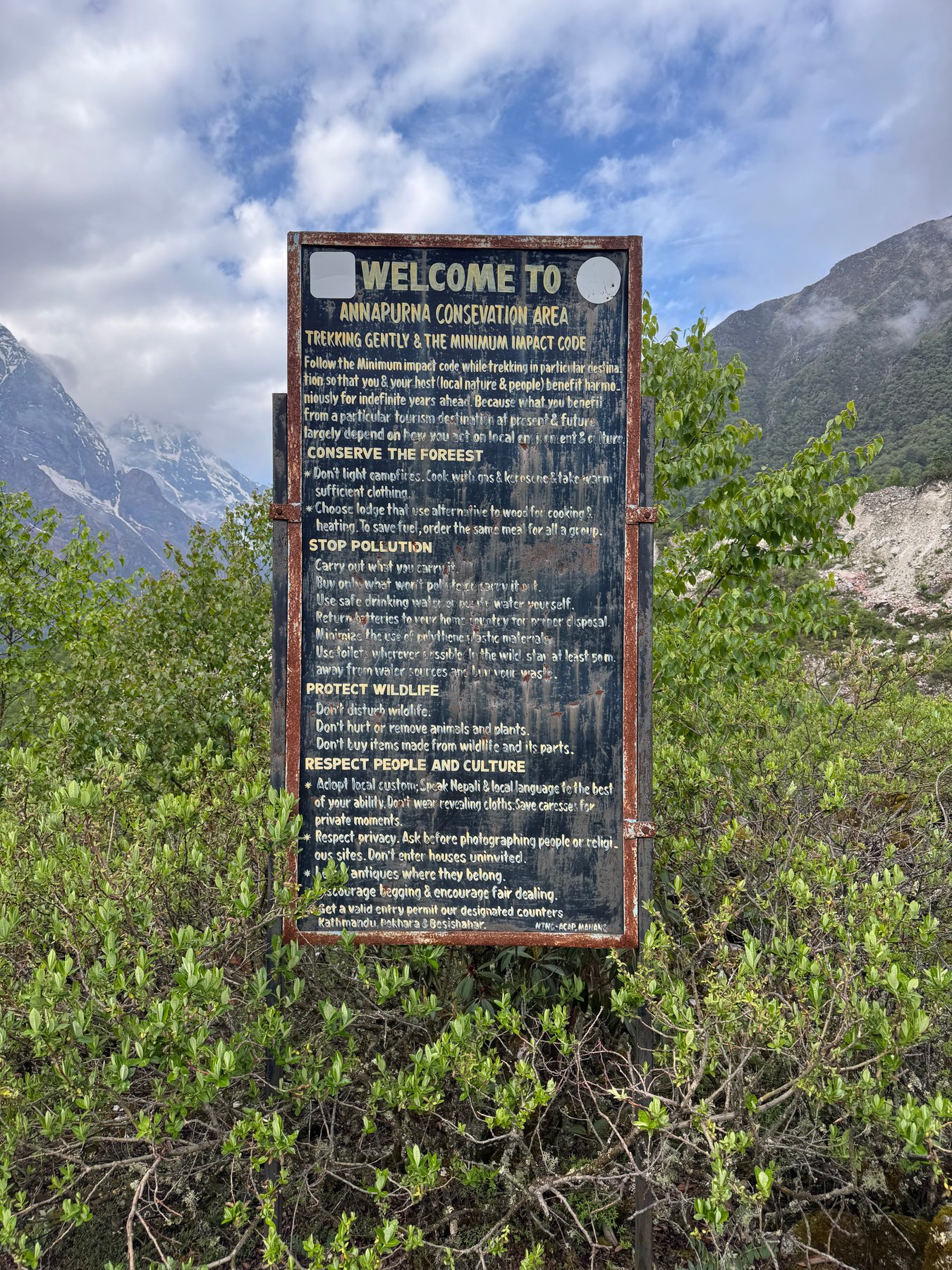
Joined some friends for a hike in the Manaslu Conservation Area of Nepal. Starting from Machha Khola, we hiked approximately 130km over 10 days, crossing the Larkya La Pass at an elevation of 5,106m and ending at Tilje.
Places based on my trip notes and photo geotags. Route line is approximate. Hillshade tiles by Esri.
The photos are grouped by their capture dates in Nepal time. Daily stages and start/end elevations below are approximate, based on photo locations and the reference itinerary, with village elevations as a guide.
Day 1: Machha Khola to Jagat
May 28, 2026 | Approx. 870m - 1,340m
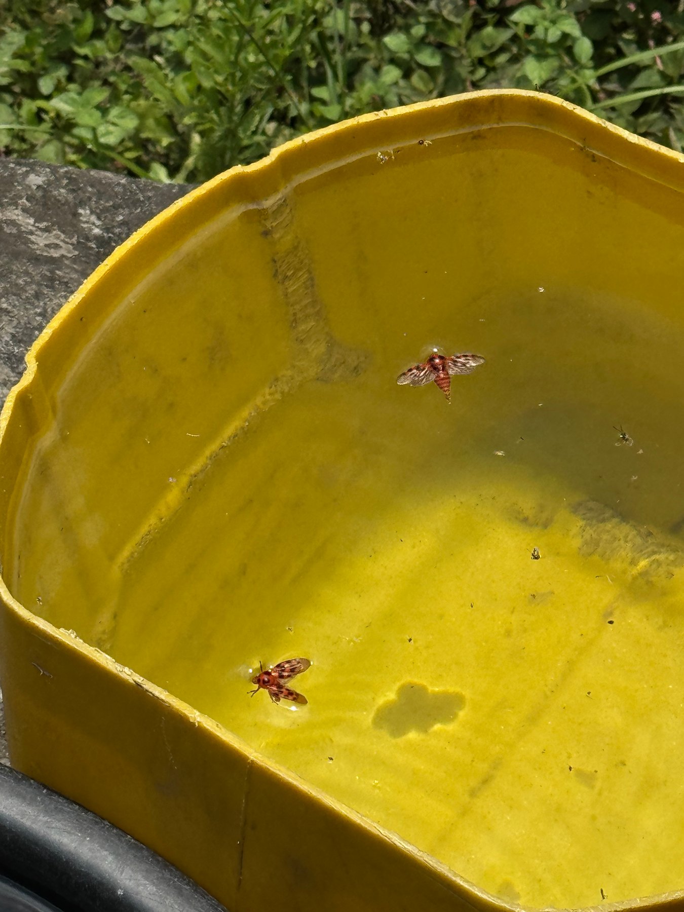
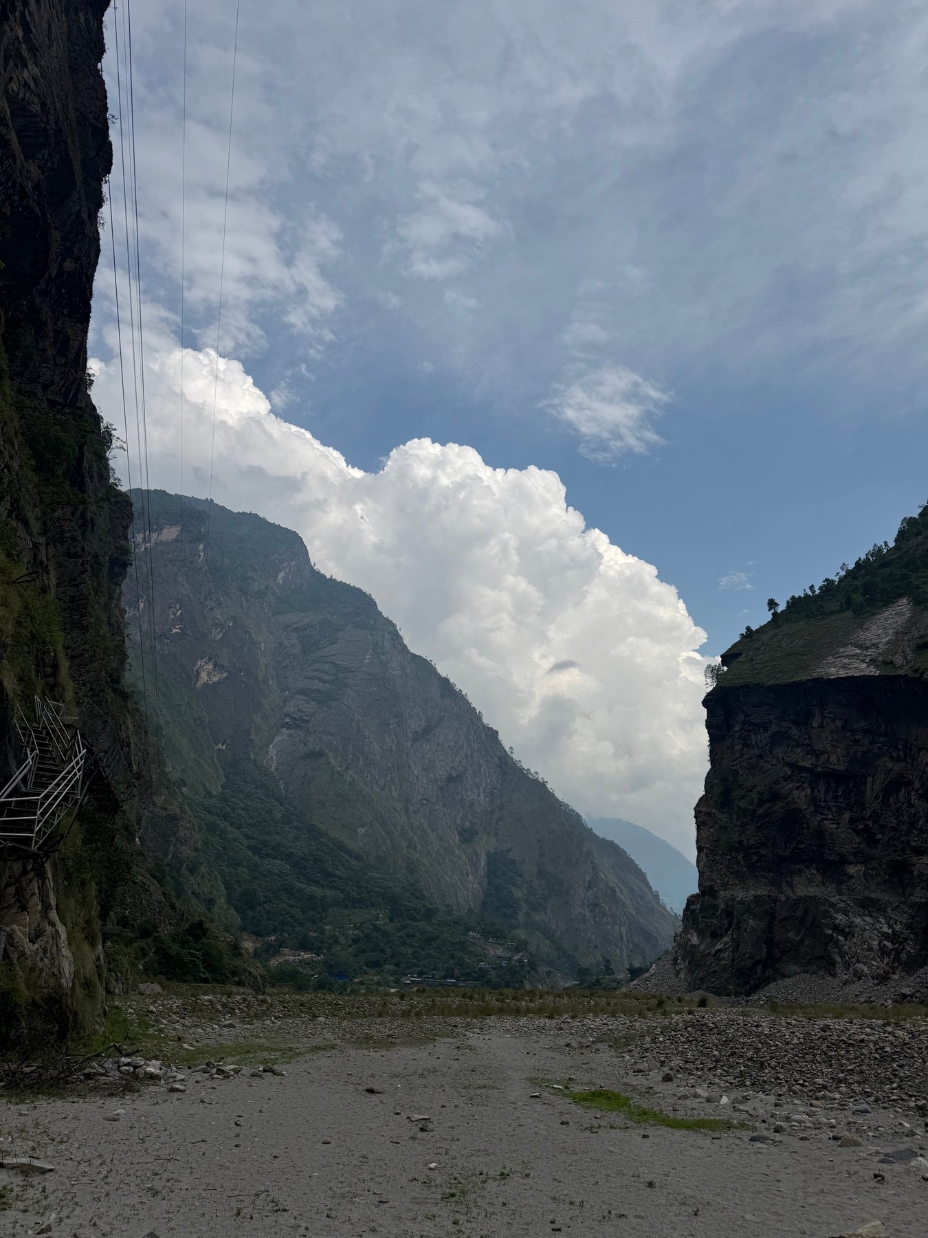
A yellow basin beside the trail.Clouds gathering above the rocky valley.
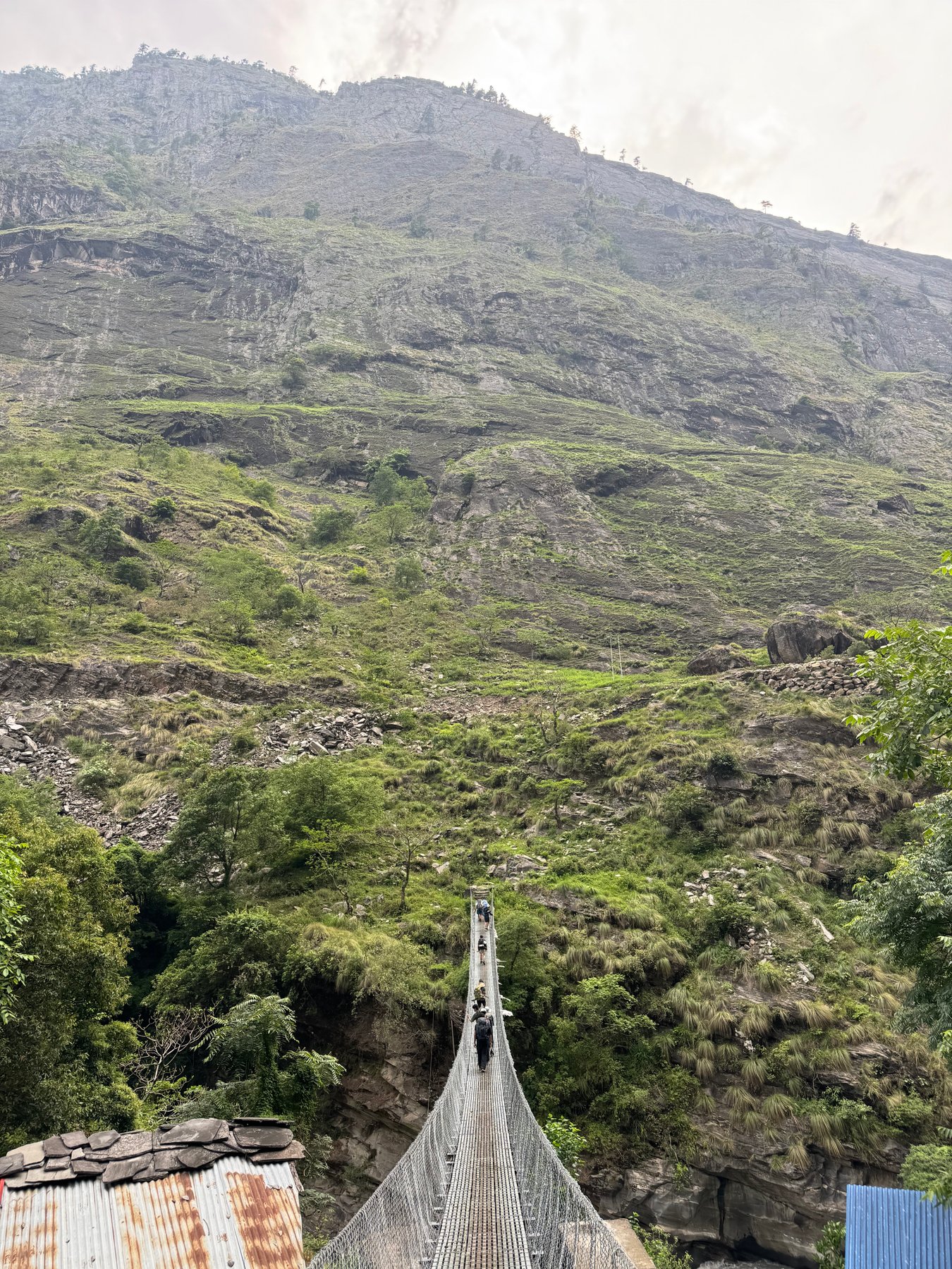
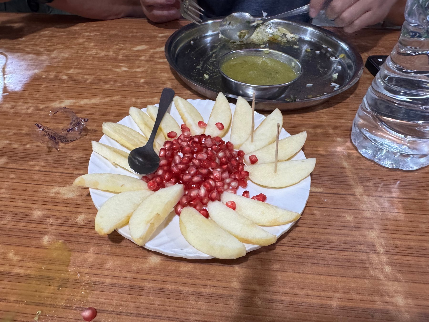
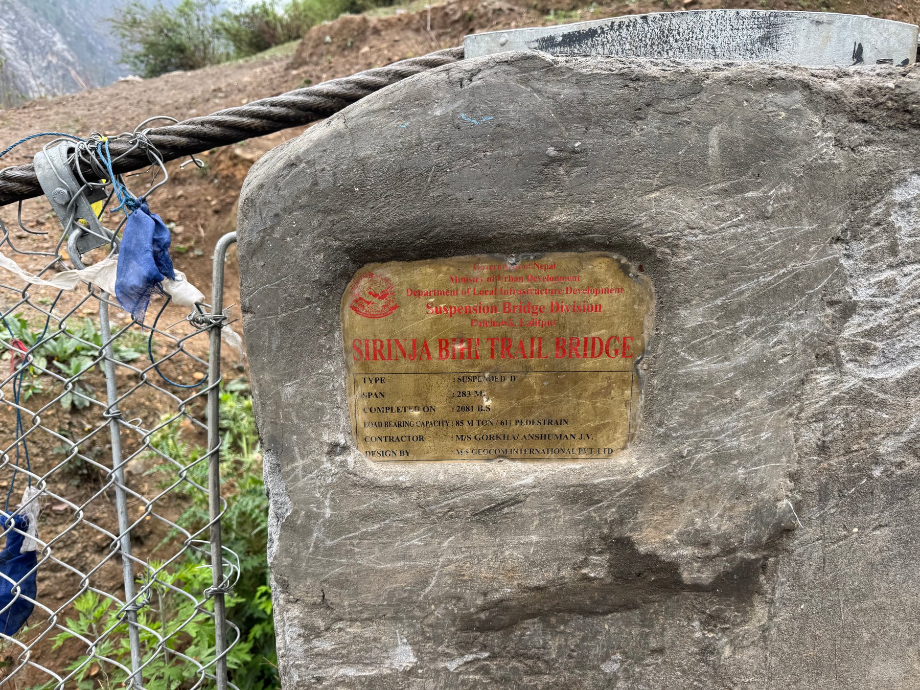
A suspension bridge stretching across the gorge.Fresh fruit at the end of the day.
Day 2: Jagat to Deng
May 29, 2026 | Approx. 1,340m - 1,860m
Following the river into the mountains.The river winding through a cloudy valley.
Green hills above the river.A narrow bridge across the valley.
Looking down the suspension bridge.Steep rock walls along the river.
The gorge beneath an overcast sky.Prayer flags above the river.
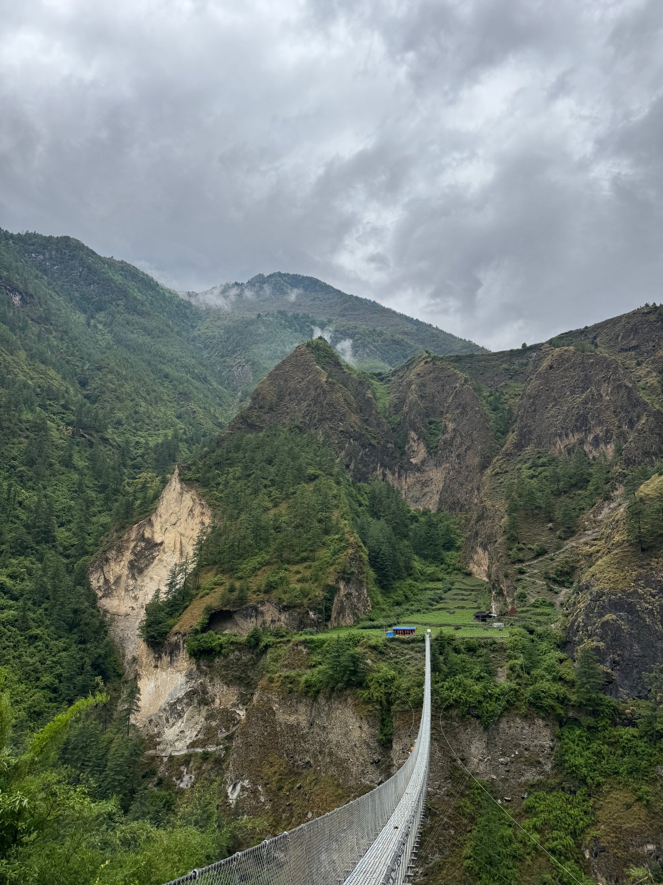
Crossing a suspension bridge.A bridge linking the steep valley sides.
The trail beneath the trees.A narrow path cut into the rock.
Day 3: Deng to Namrung
May 30, 2026 | Approx. 1,860m - 2,630m
A glimpse of the peaks through the forest.Following the trail along the hillside.
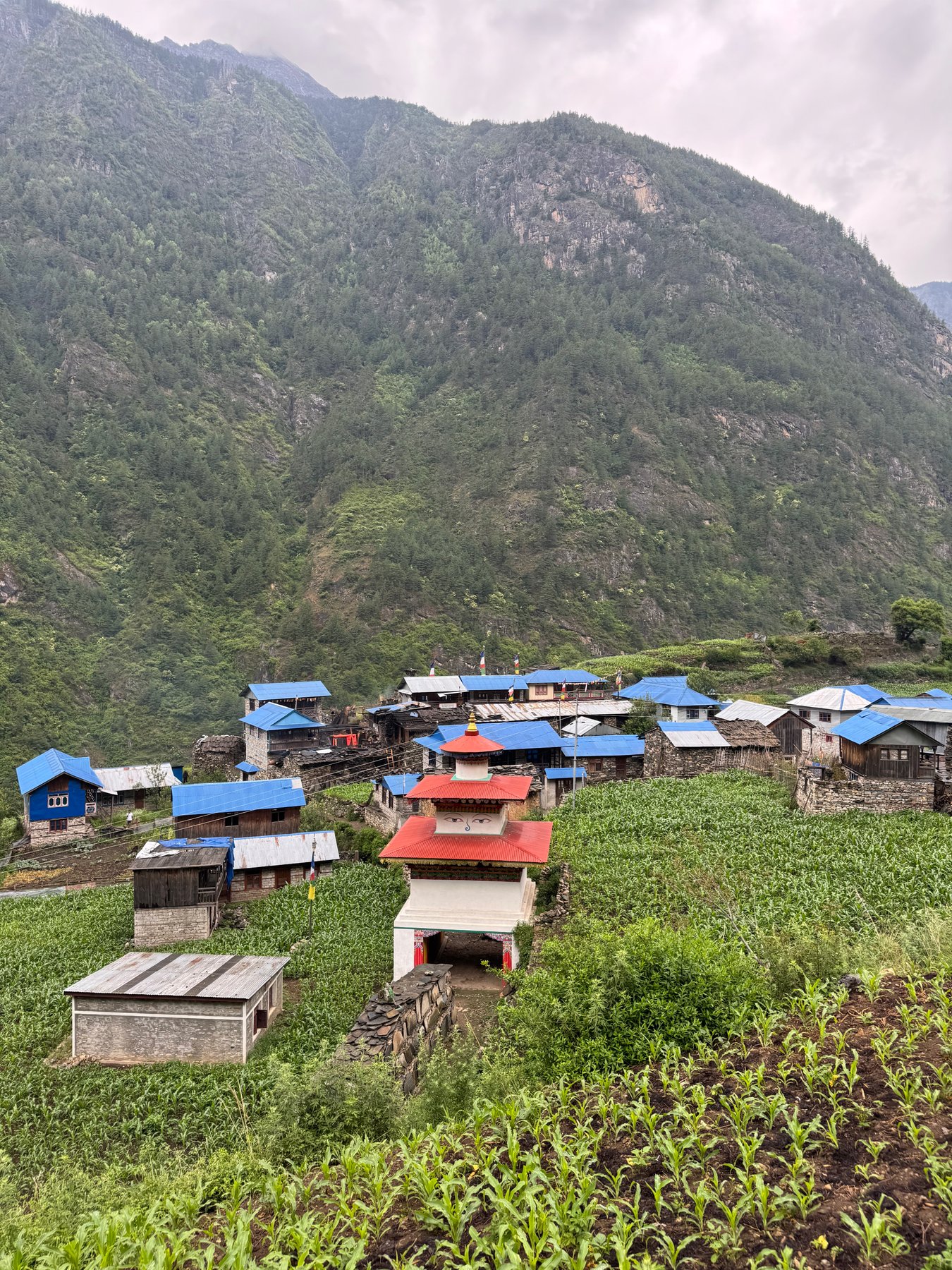
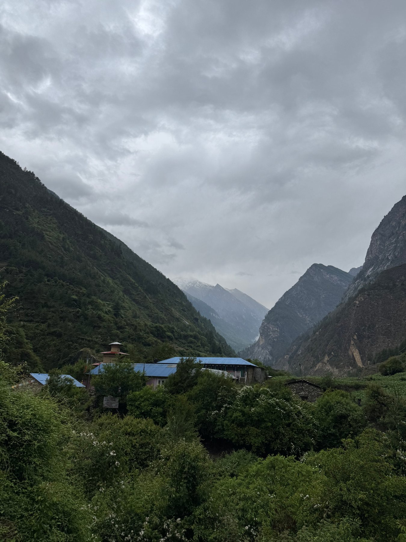
Blue-roofed houses and a village shrine.A trail marker beside the path.
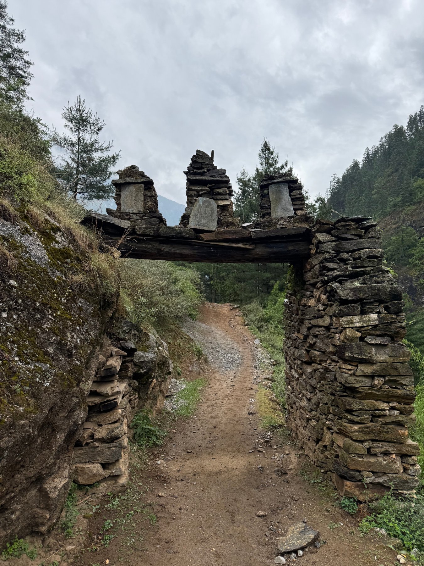
The river far below the trail.A stone gateway on the trail.
Another suspension bridge across the valley.Village rooftops beneath the hills.
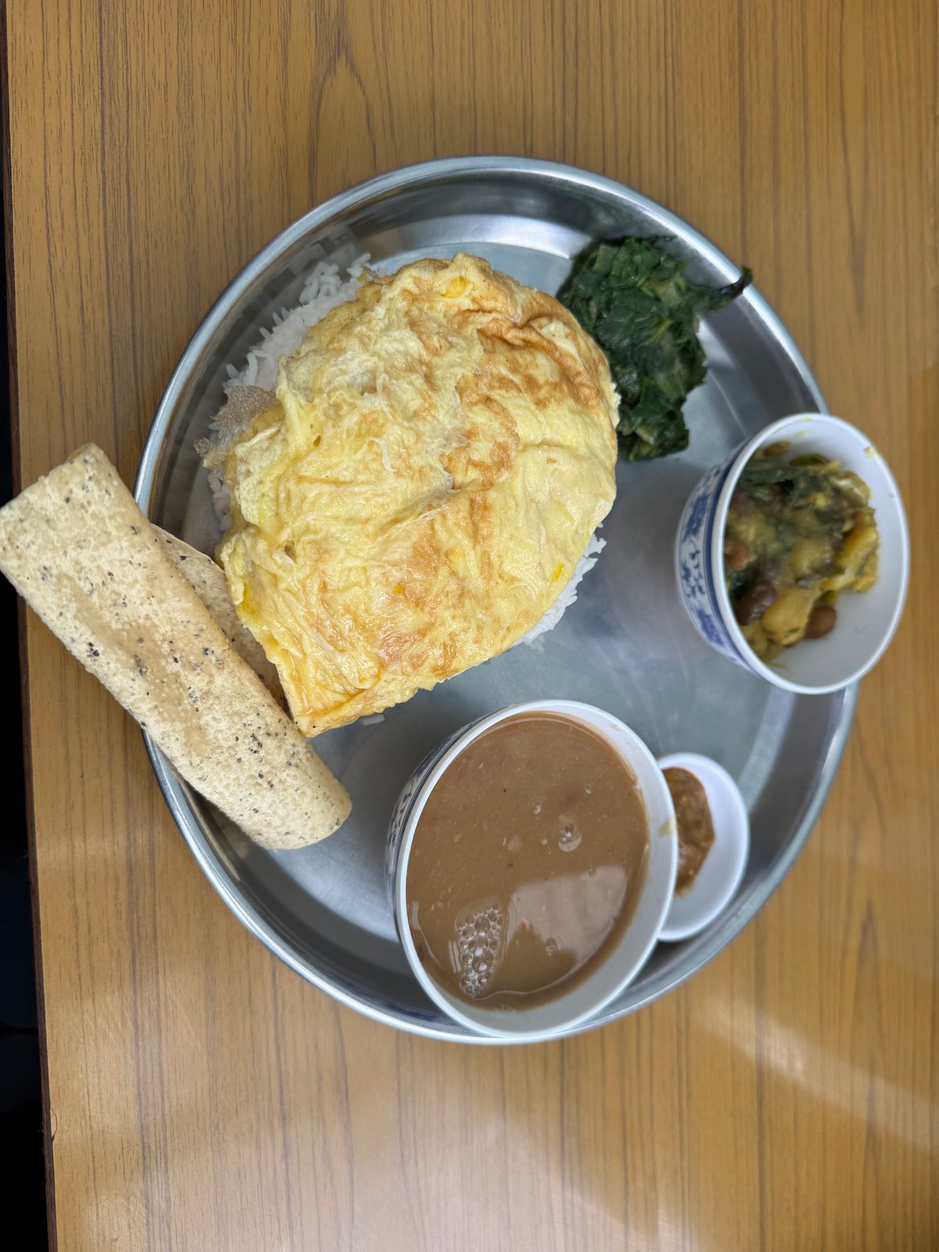
A quiet path between the lodges.A hot meal along the way.
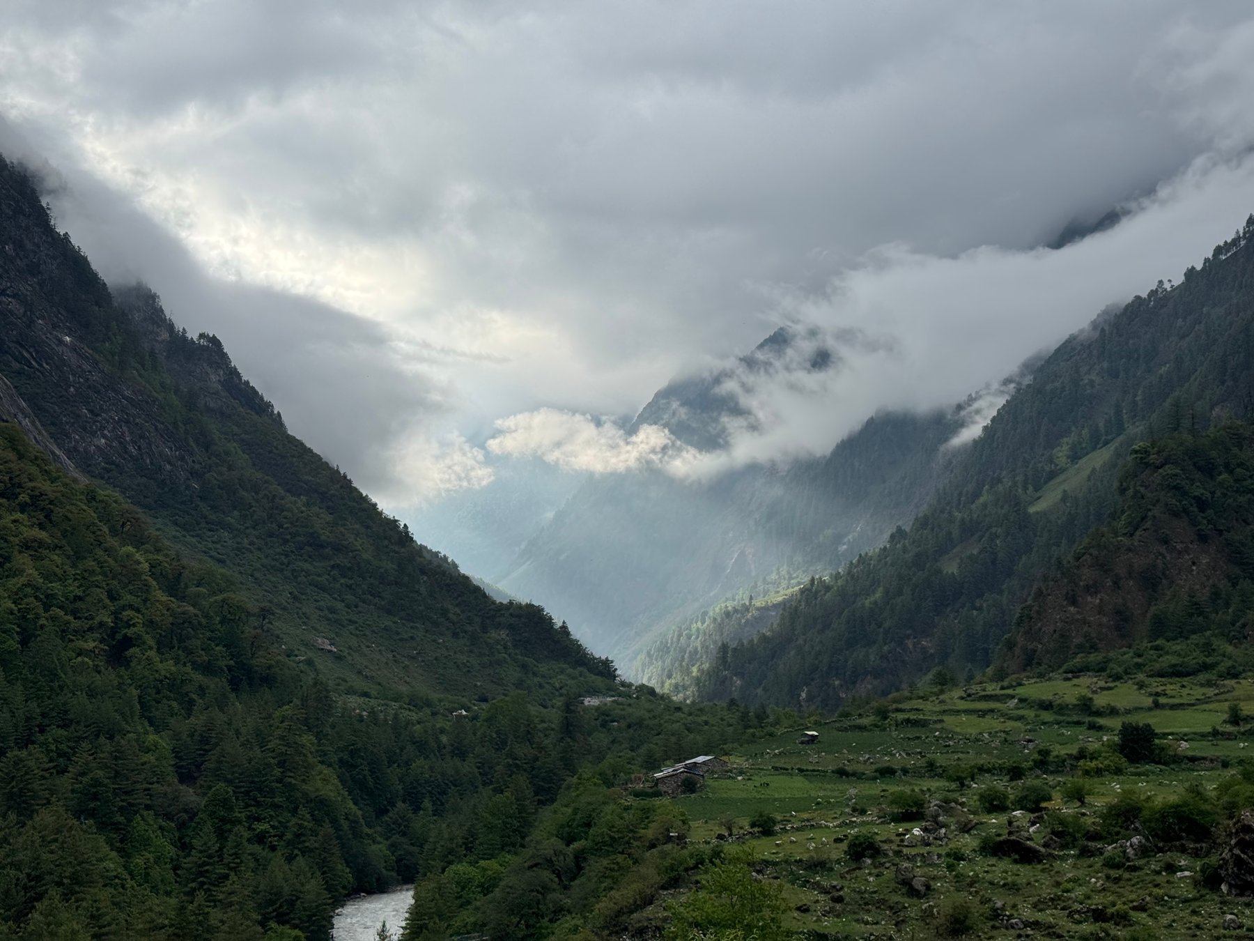
Clouds filling the valley.
Day 4: Namrung to Shyala
May 31, 2026 | Approx. 2,630m - 3,500m
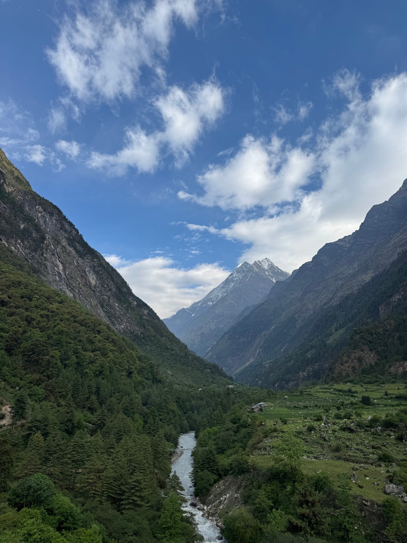
Blue skies over the river valley.
Day 5: Shyala to Samagaun via Pungyen Gompa
Jun 1, 2026 | Approx. 3,500m - 3,520m
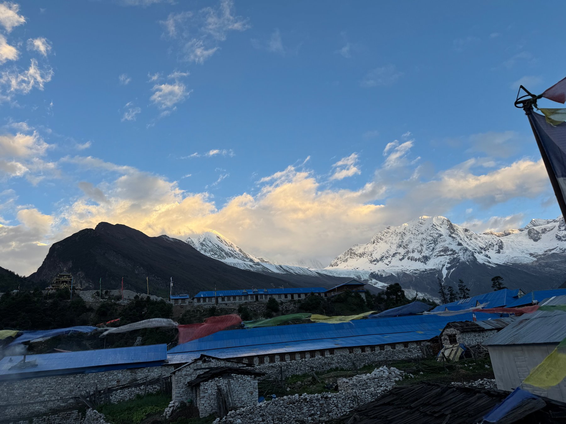
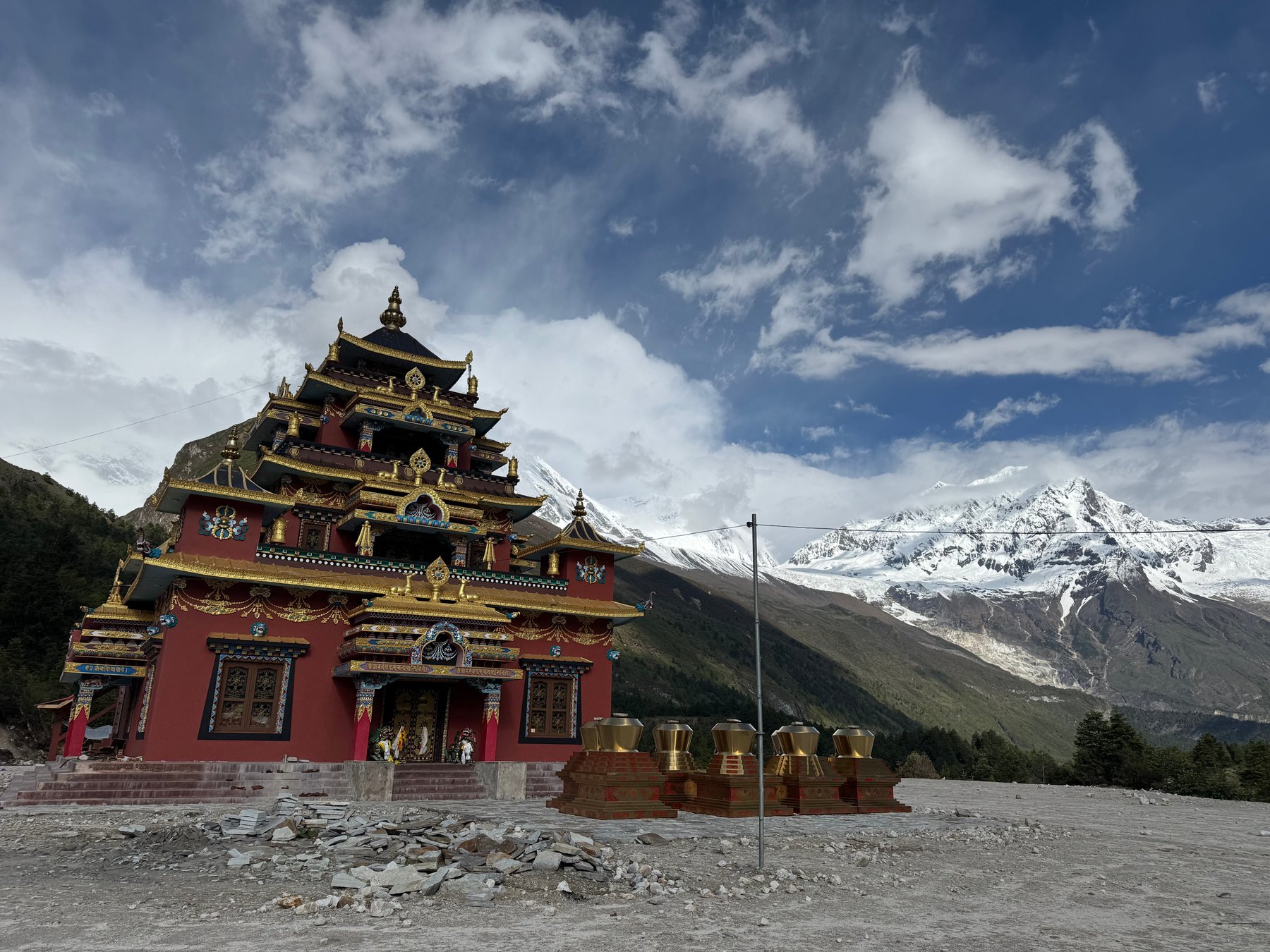
Morning light on the snowy peaks.A monastery beneath the mountains.
Day 6: Birendra Lake from Samagaun
Jun 2, 2026 | Approx. 3,520m - 3,520m
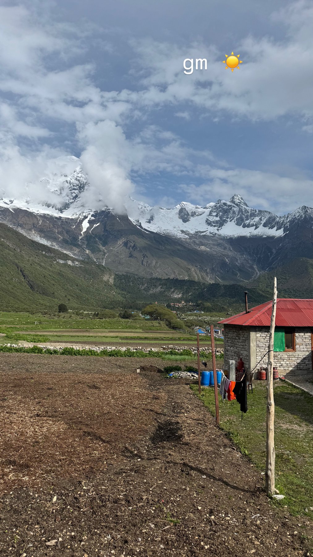
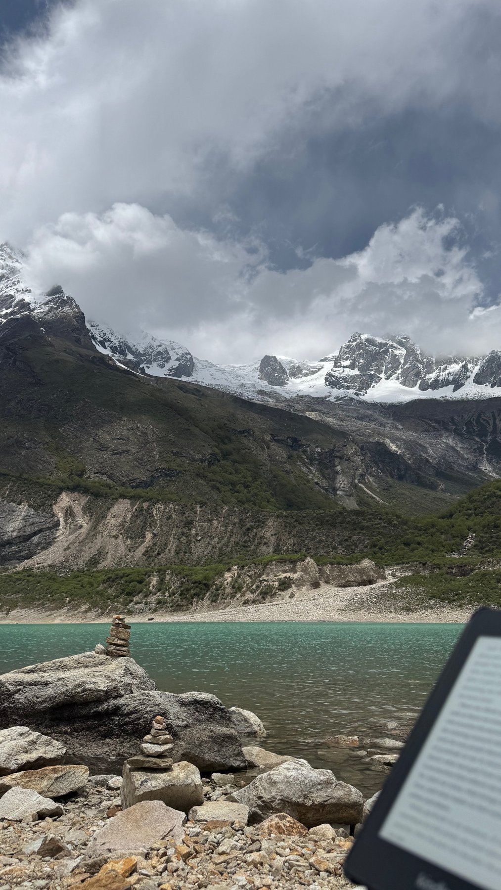
Mountain views near Samagaun.The turquoise water of Birendra Lake.
Day 7: Samagaun to Samdo
Jun 3, 2026 | Approx. 3,520m - 3,875m
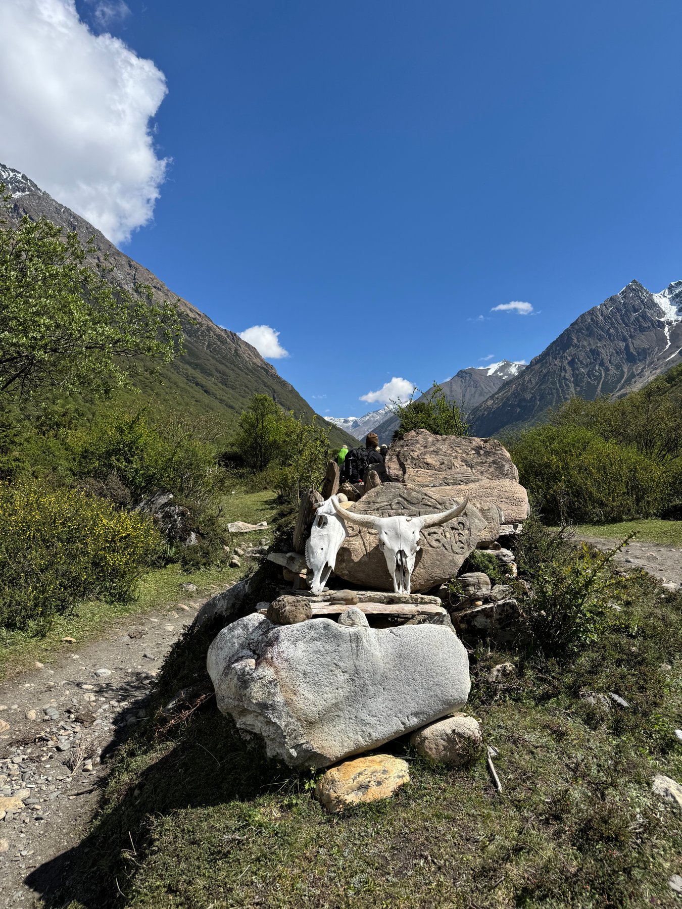
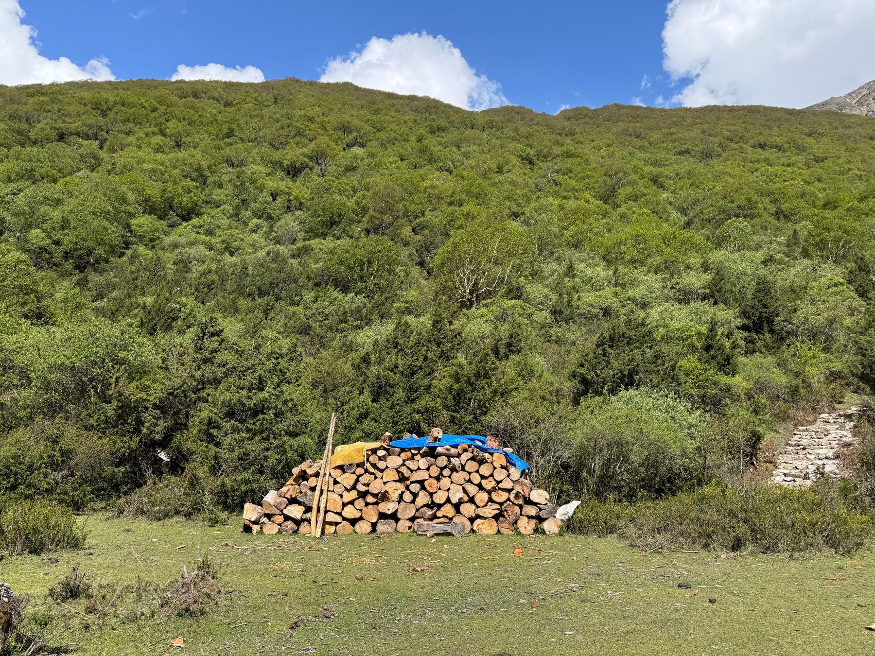
Carved stones beside the trail.Firewood stacked on the hillside.
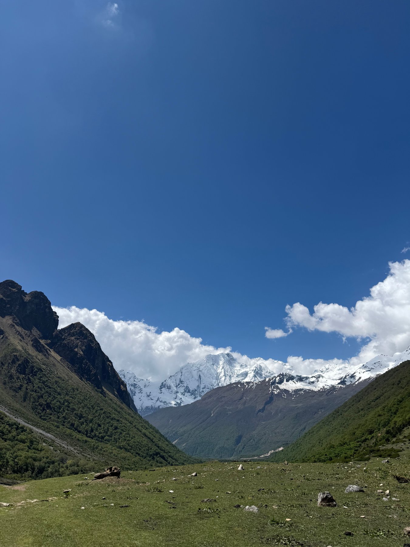
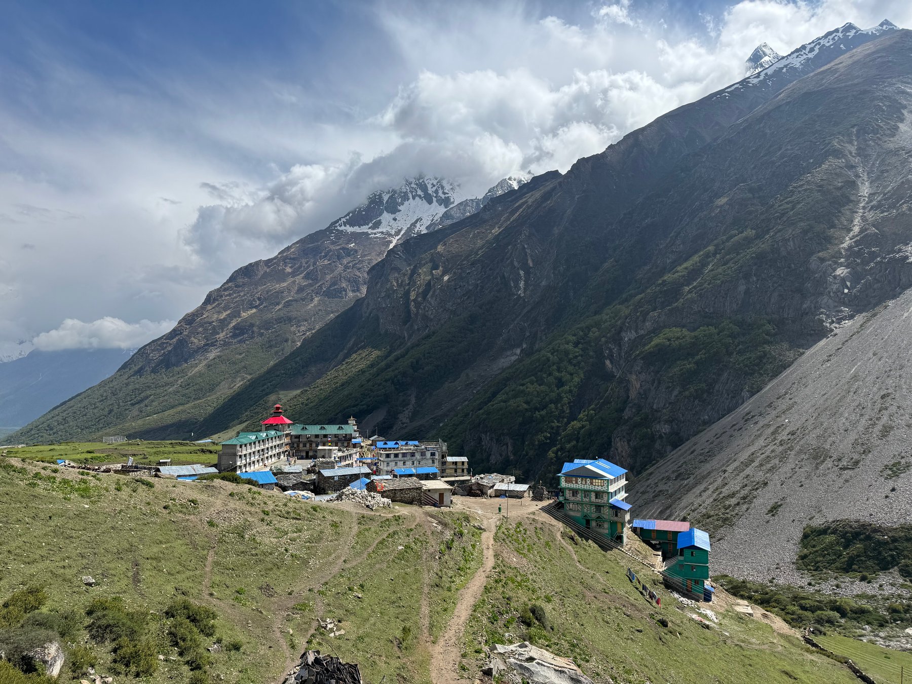
Open grassland and snowy peaks ahead.Mountain lodges at Samdo.
Day 8: Samdo to Dharamsala
Jun 4, 2026 | Approx. 3,875m - 4,460m
Walking toward the high mountains.Clouds above the alpine valley.
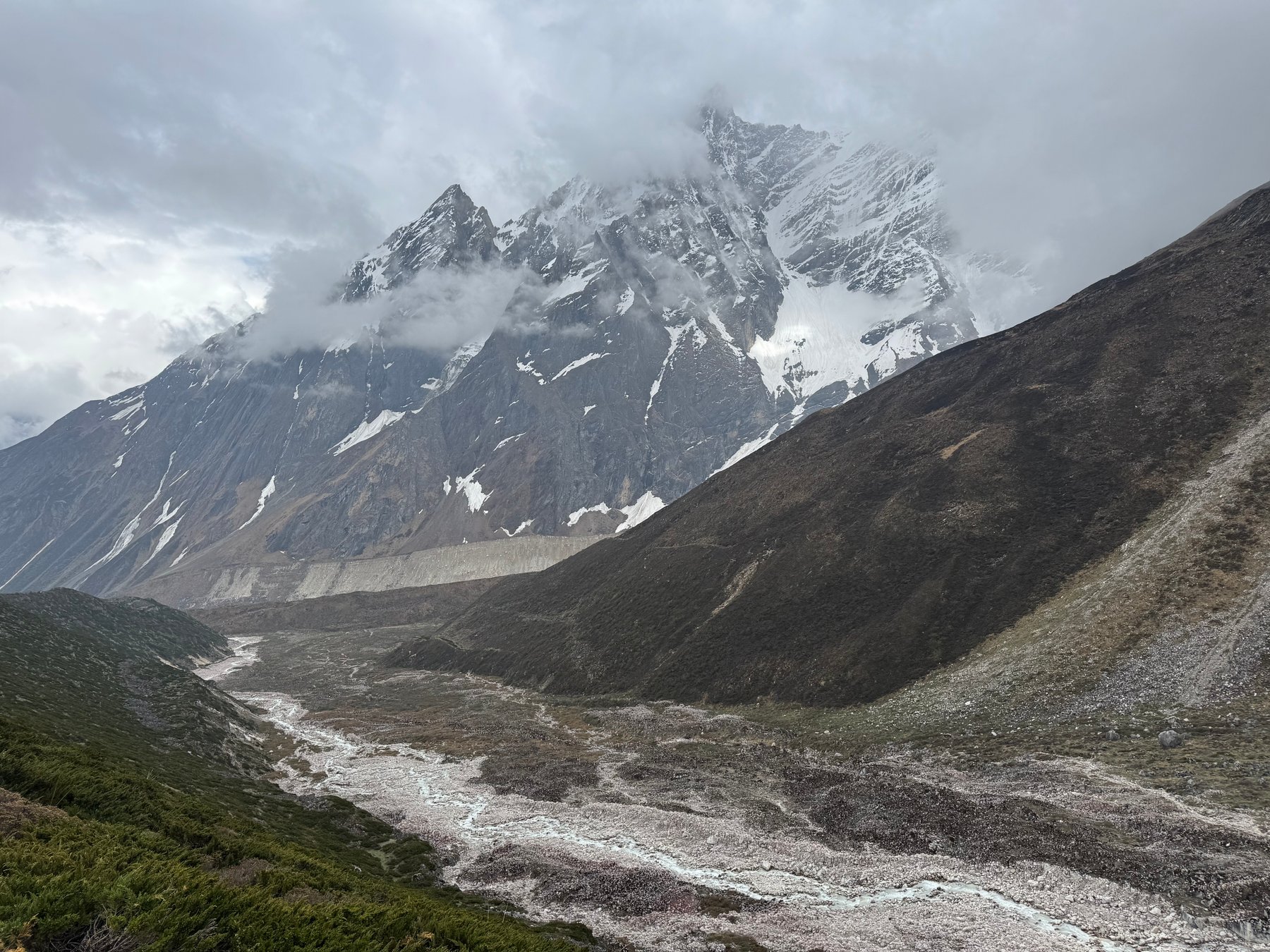
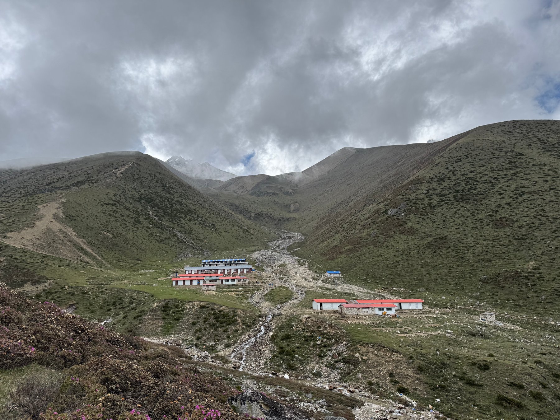
A rocky riverbed beneath snow-covered peaks.The lodges at Dharamsala.
Day 9: Dharamsala to Bhimtang
Jun 5, 2026 | Approx. 4,460m - 3,590m
Crossing Larkya La Pass at 5,106m.
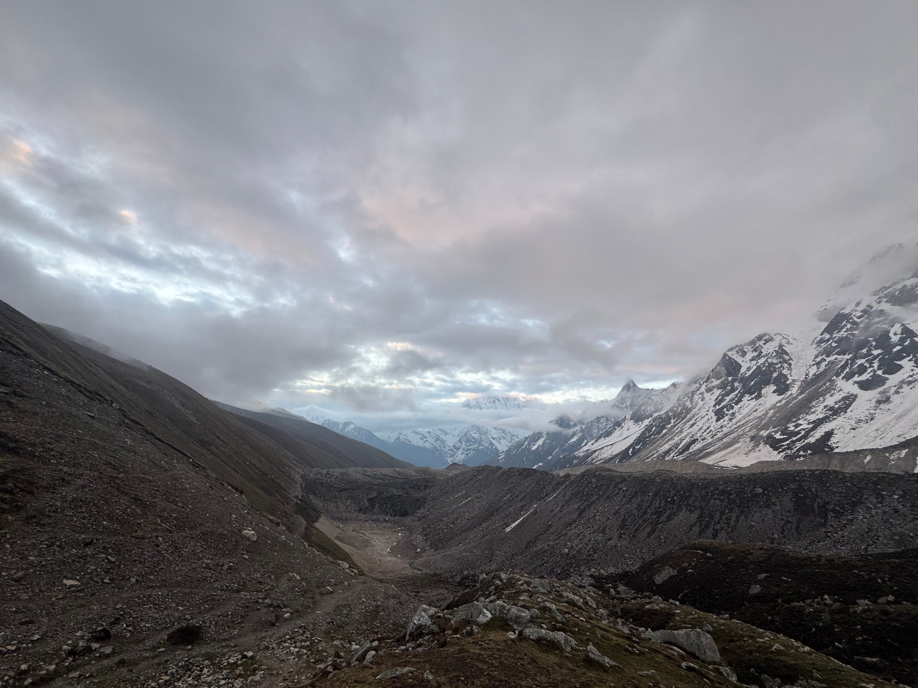
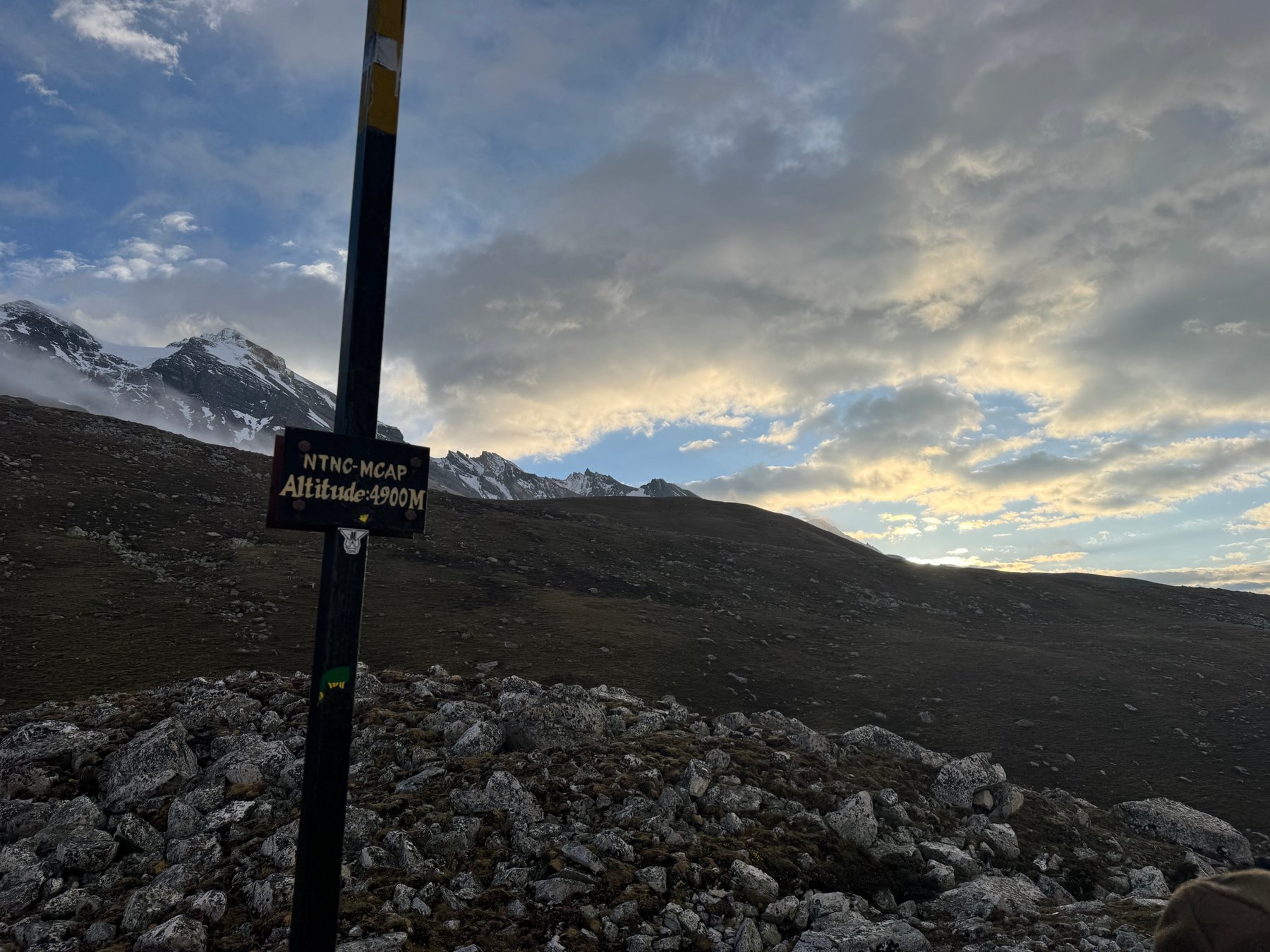
An early start in the high valley.A trail sign beneath the morning sky.
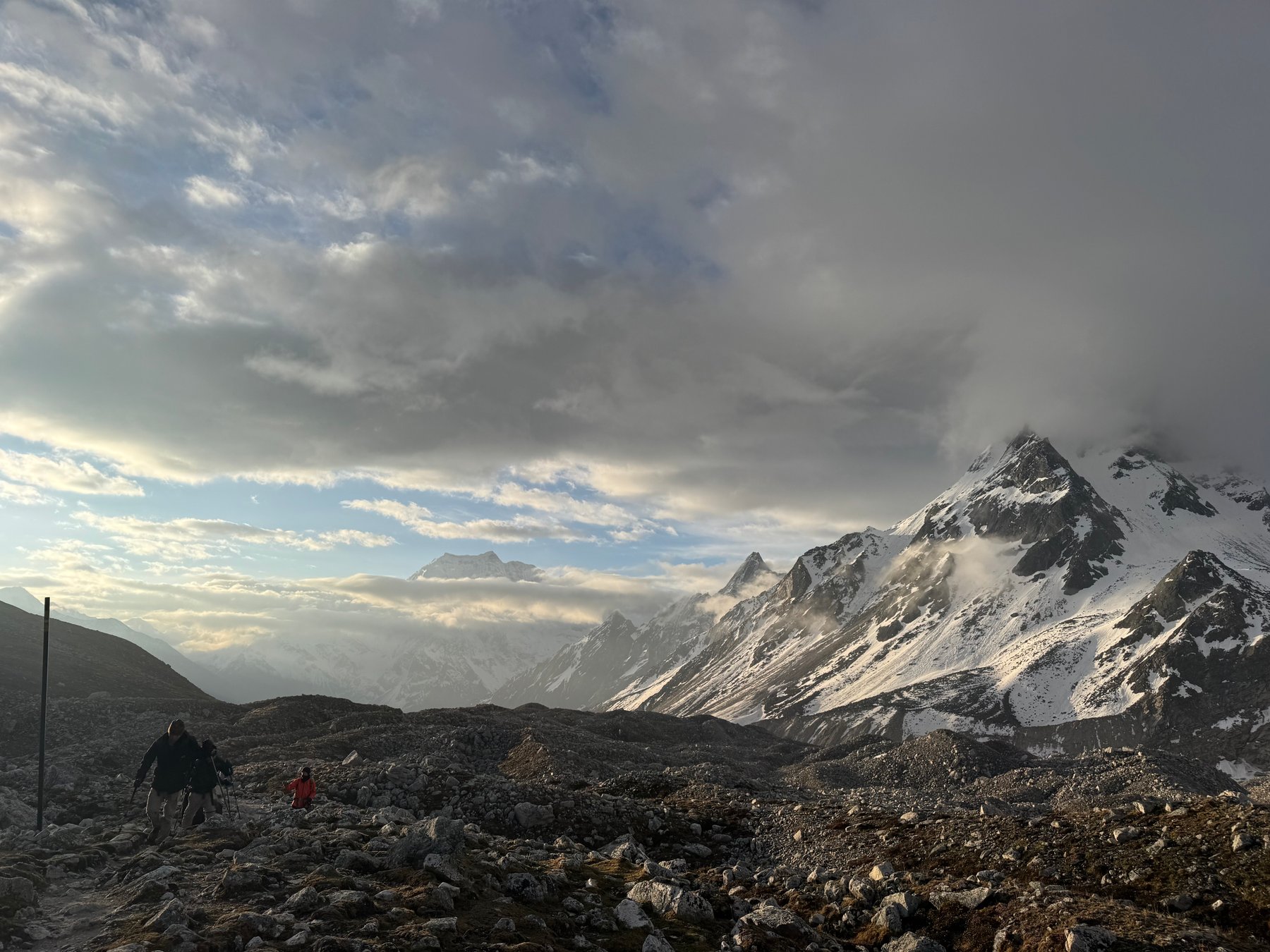
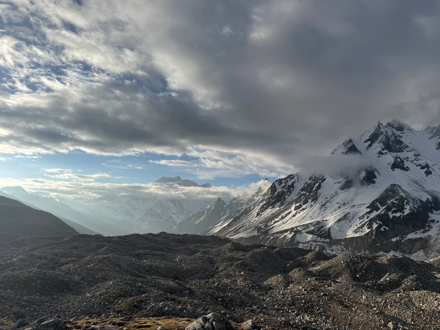
Morning light over the snow-covered mountains.Clouds lifting above the snowy valley.
Day 10: Bhimtang to Tilje
Jun 6, 2026 | Approx. 3,590m - 2,300m
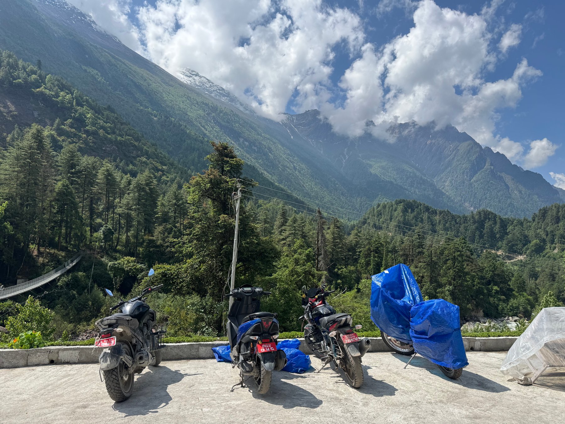
A sign beside the descending trail.Motorbikes at the roadside below the mountains.